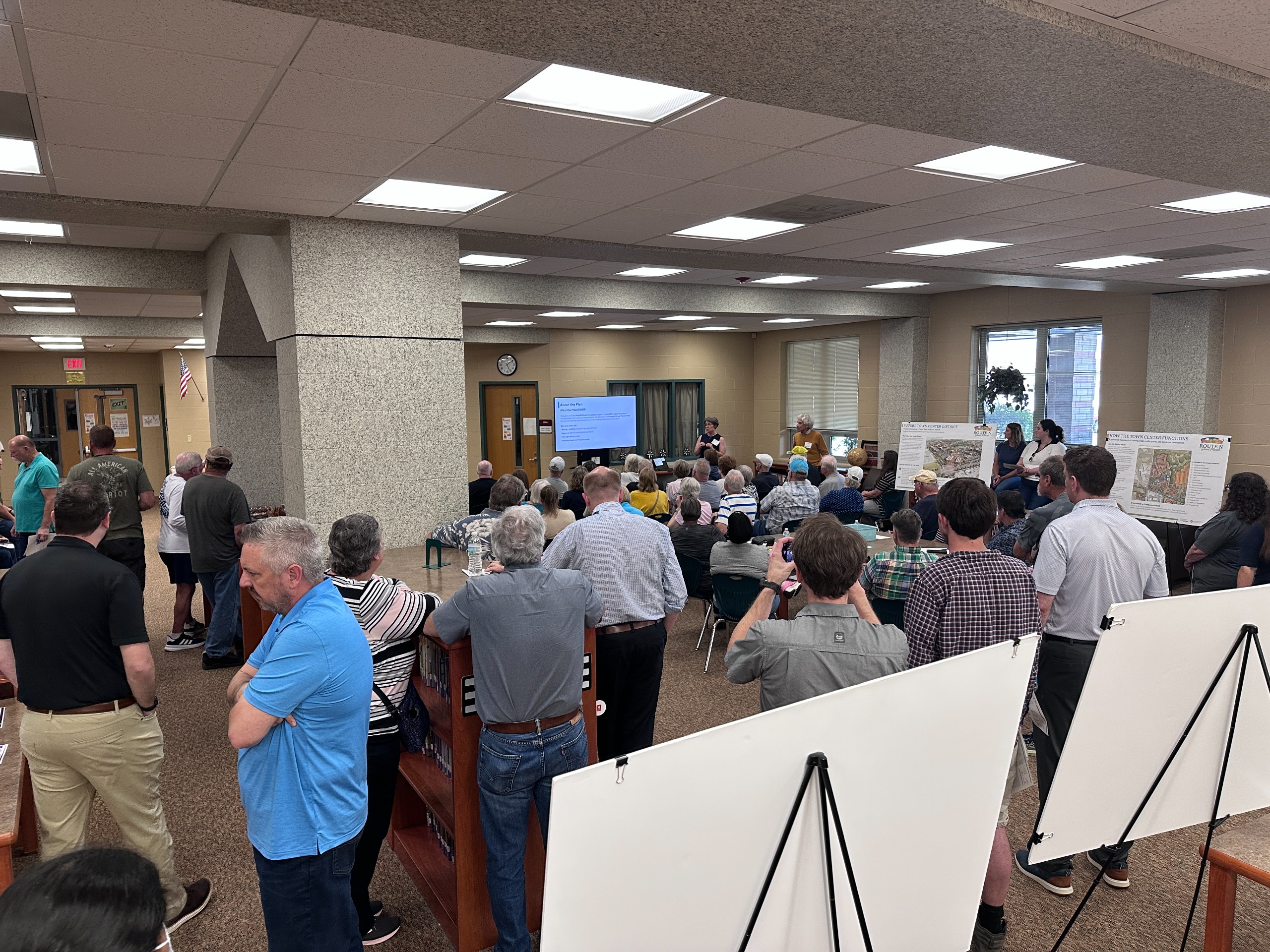
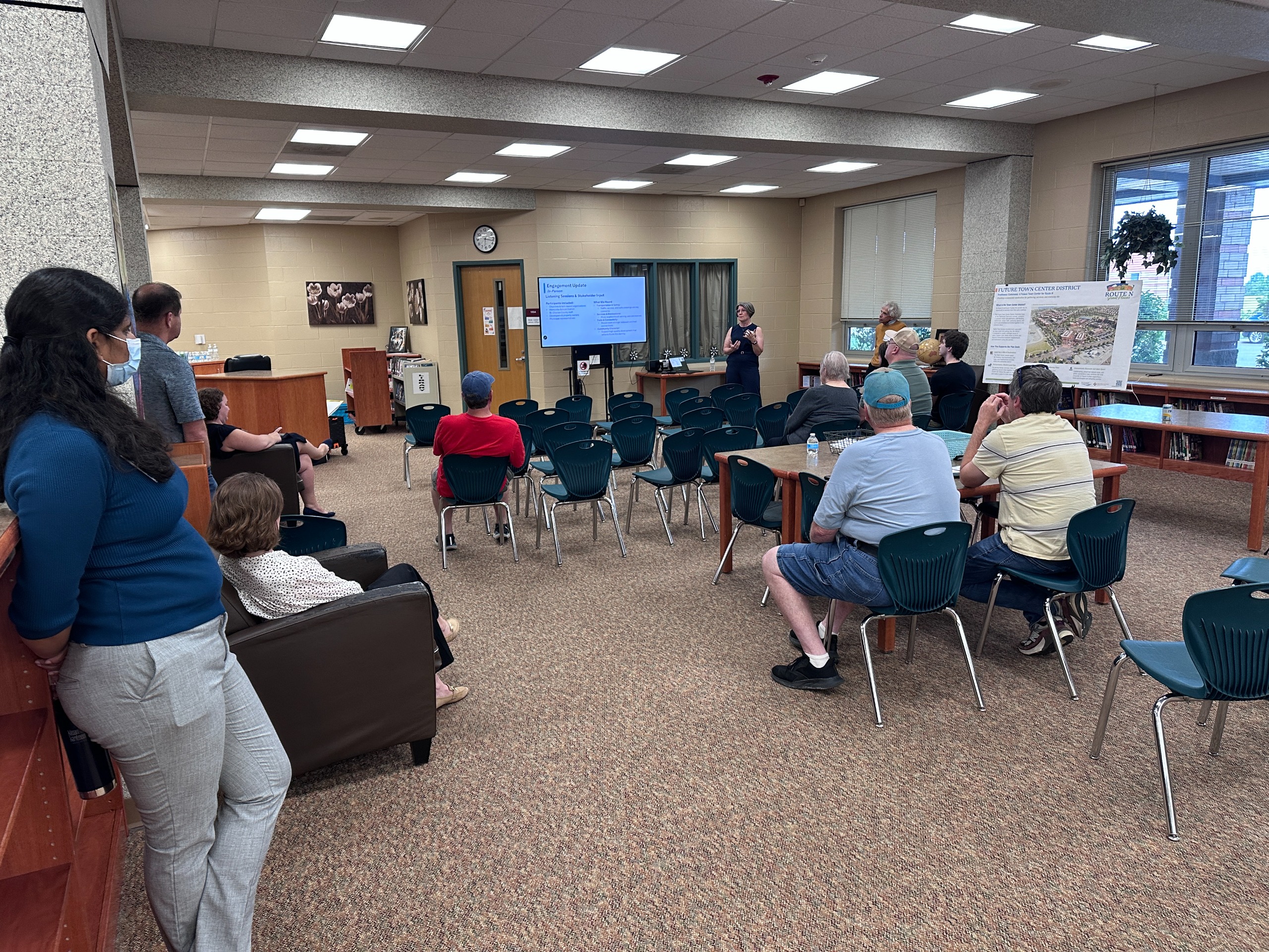
Thank You for Attending our Final Public Meeting
Thank you to everyone who attended the May 21 final public meeting for the Route N Great Places Plan.
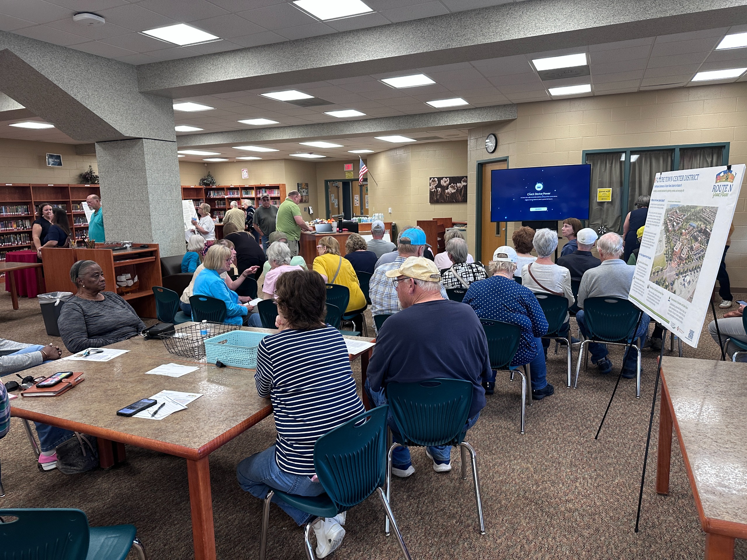
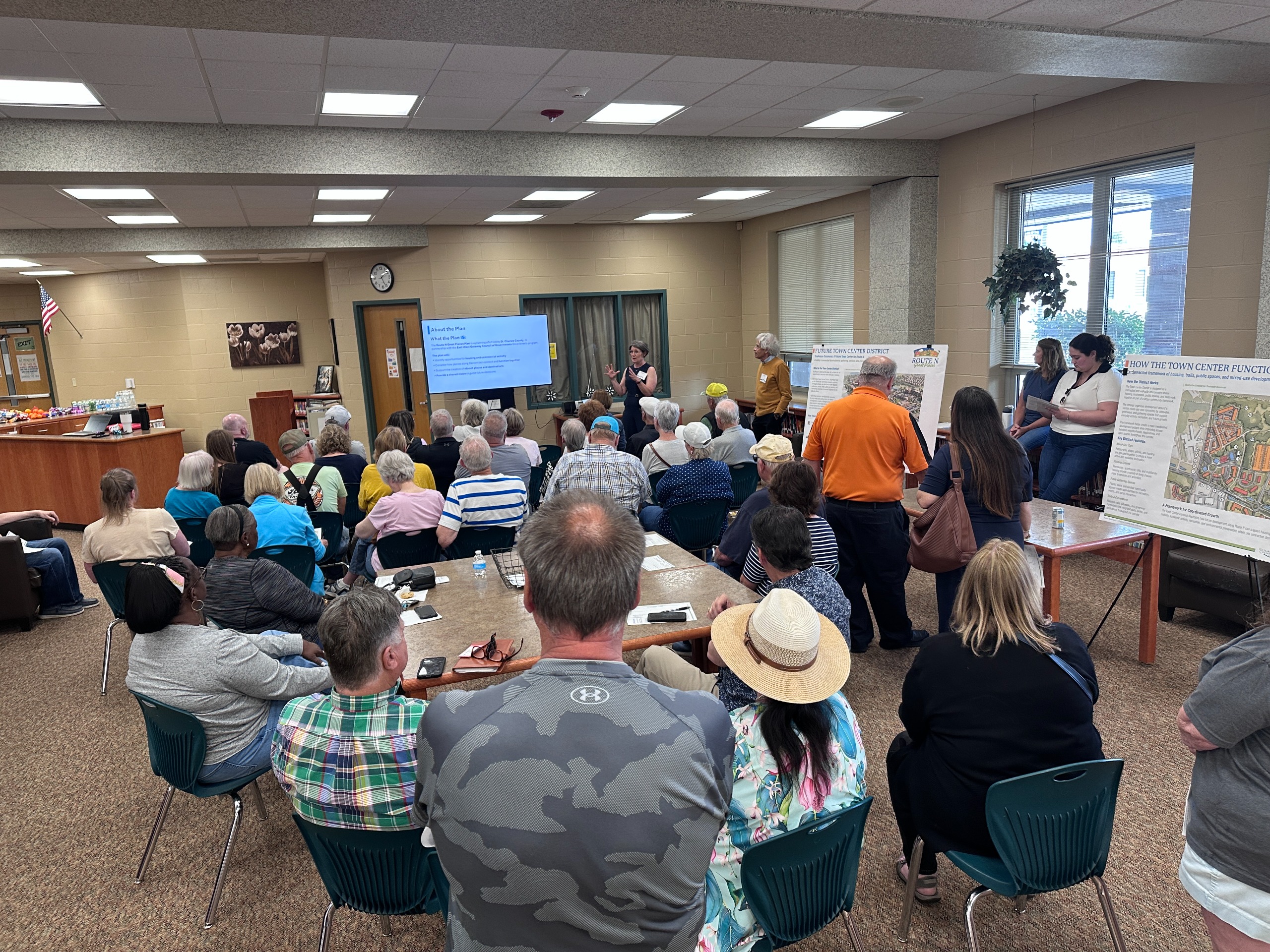
At the open house, community members reviewed draft recommendations, explored boards and maps, asked questions, and shared feedback on what feels right and what may need more refinement.
The planning team also gave two short presentations at 5:00 PM and 6:00 PM to walk through the draft plan, key recommendations, and next steps.
The open house presentation and boards are available below for anyone who would like to review the draft recommendations, maps, and concepts shared at the meeting.
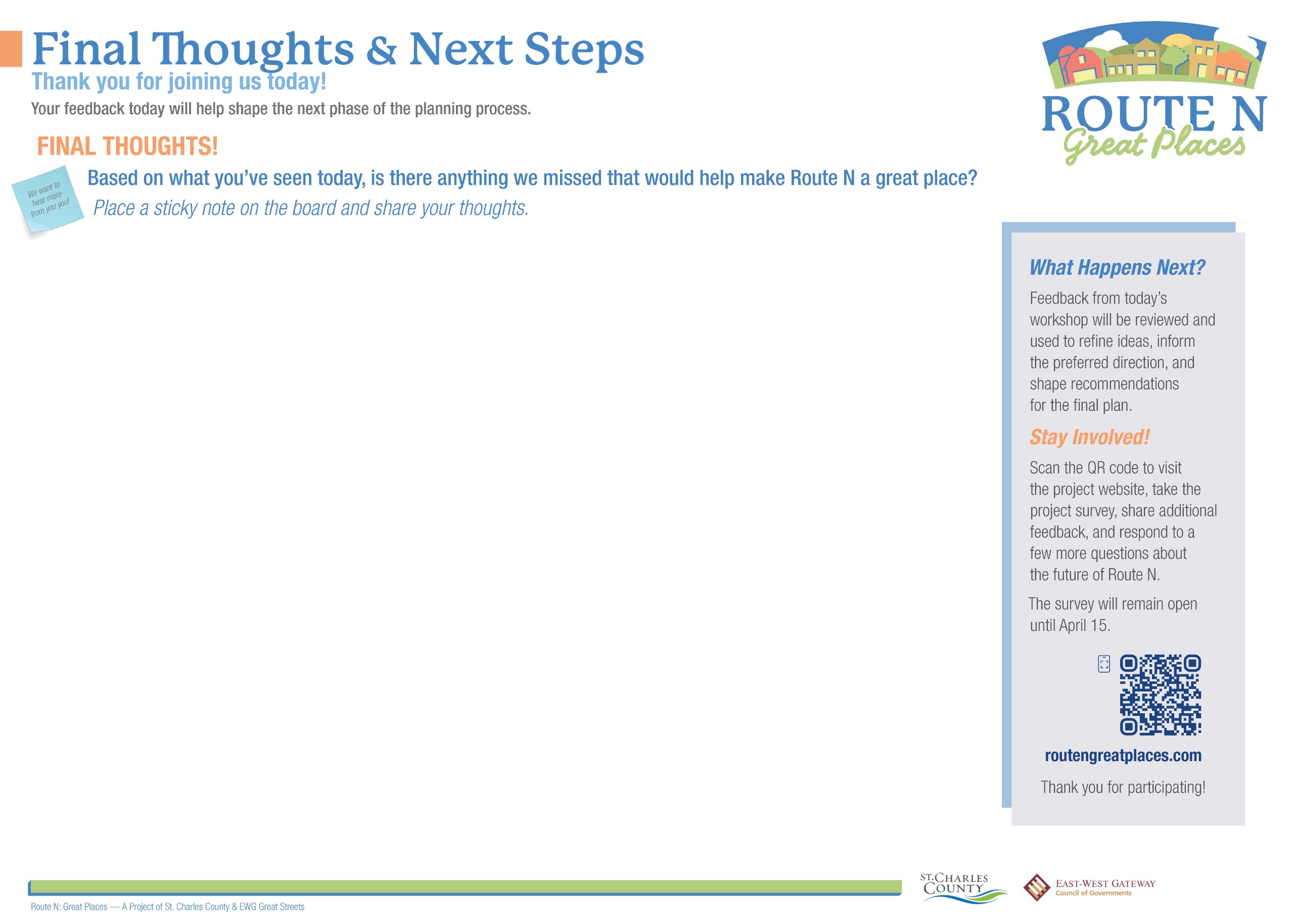
What Happens Next?
The project team is now reviewing feedback from the open house and making final updates to the draft plan.
The draft plan will be available at routengreatplaces.com beginning June 1. Community members may submit comments and questions through the website until June 22.
Feedback received during the draft review period will help inform final updates to the plan before the final plan is completed in June.
Thank you for participating!
Thank You for Participating in the Community Survey!
Thank you to everyone who participated in the Route N Great Places community survey. The survey was open from February 20 through April 15 and received 615 responses. Community feedback helped inform discussions about land use, development patterns, transportation, connectivity, and corridor character along Route N.
Survey input was used throughout the planning process and helped shape the draft recommendations presented during the community workshops and final public meeting.
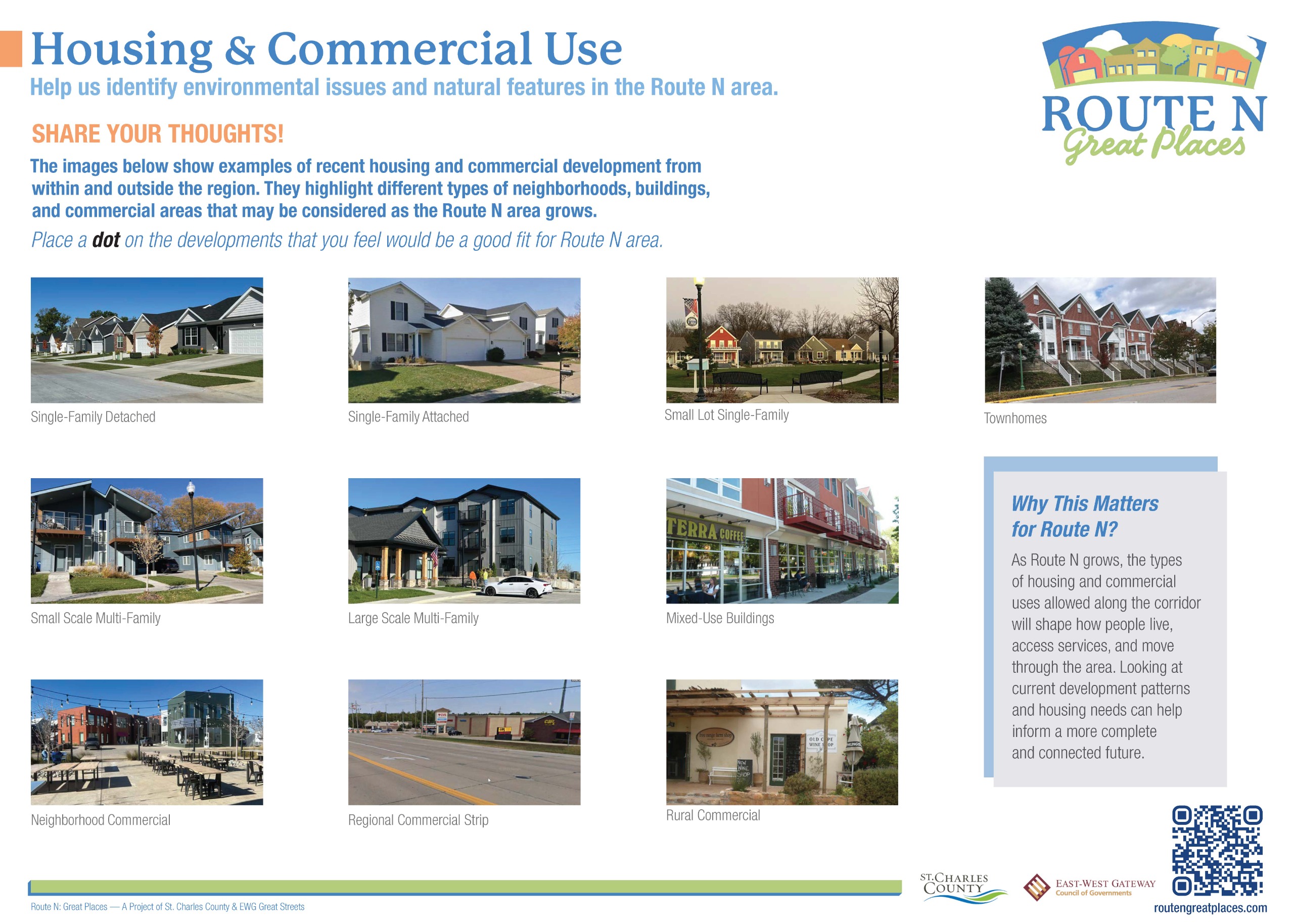
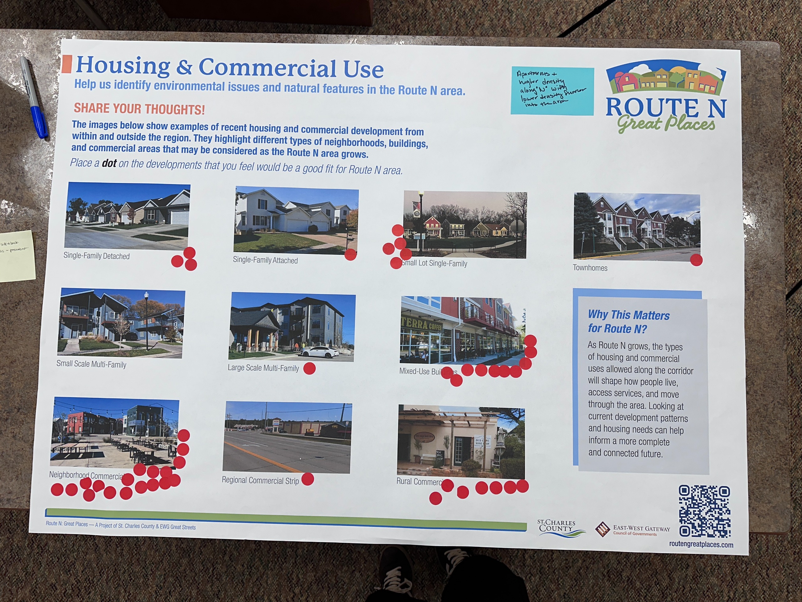
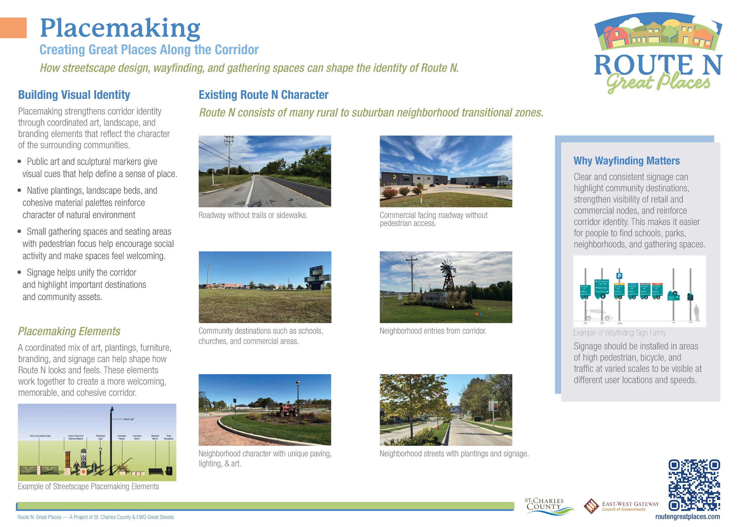
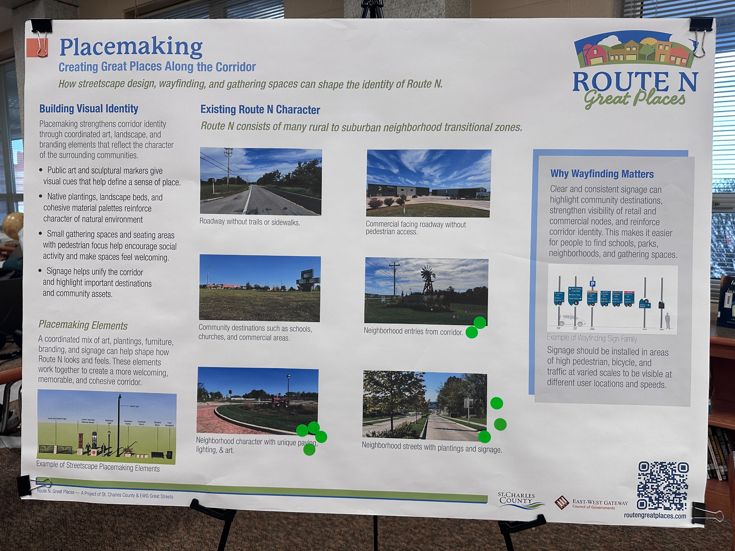
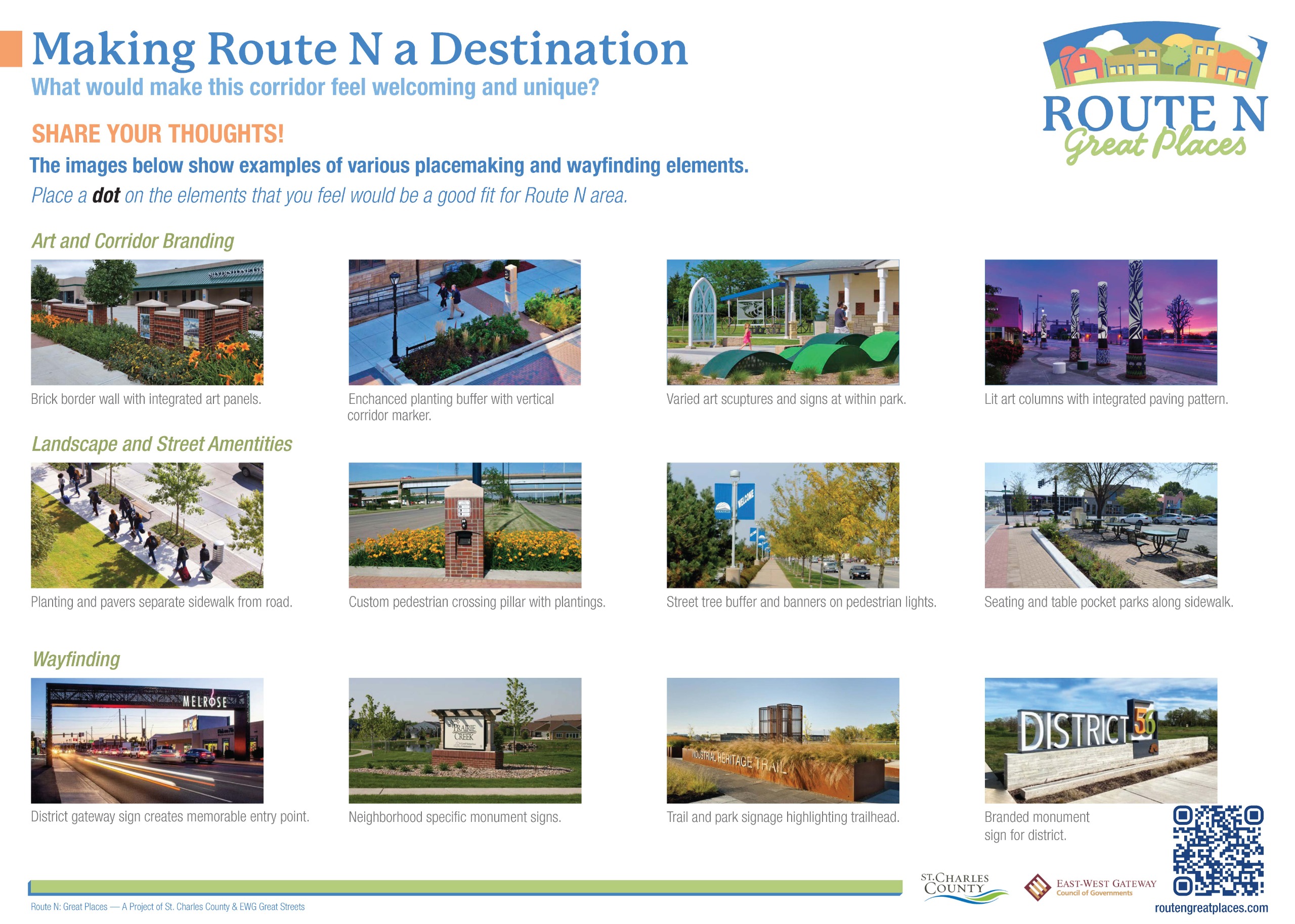
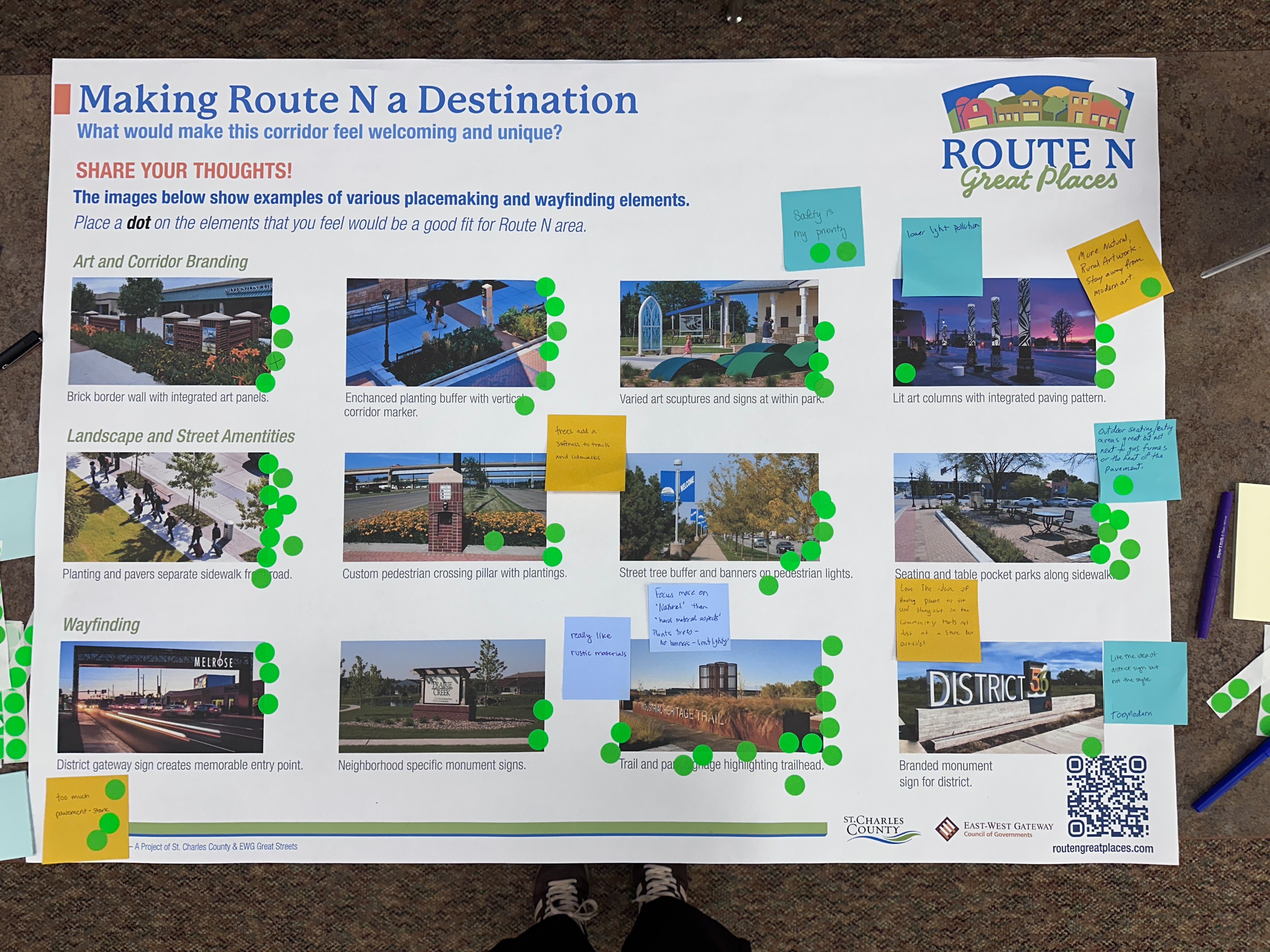
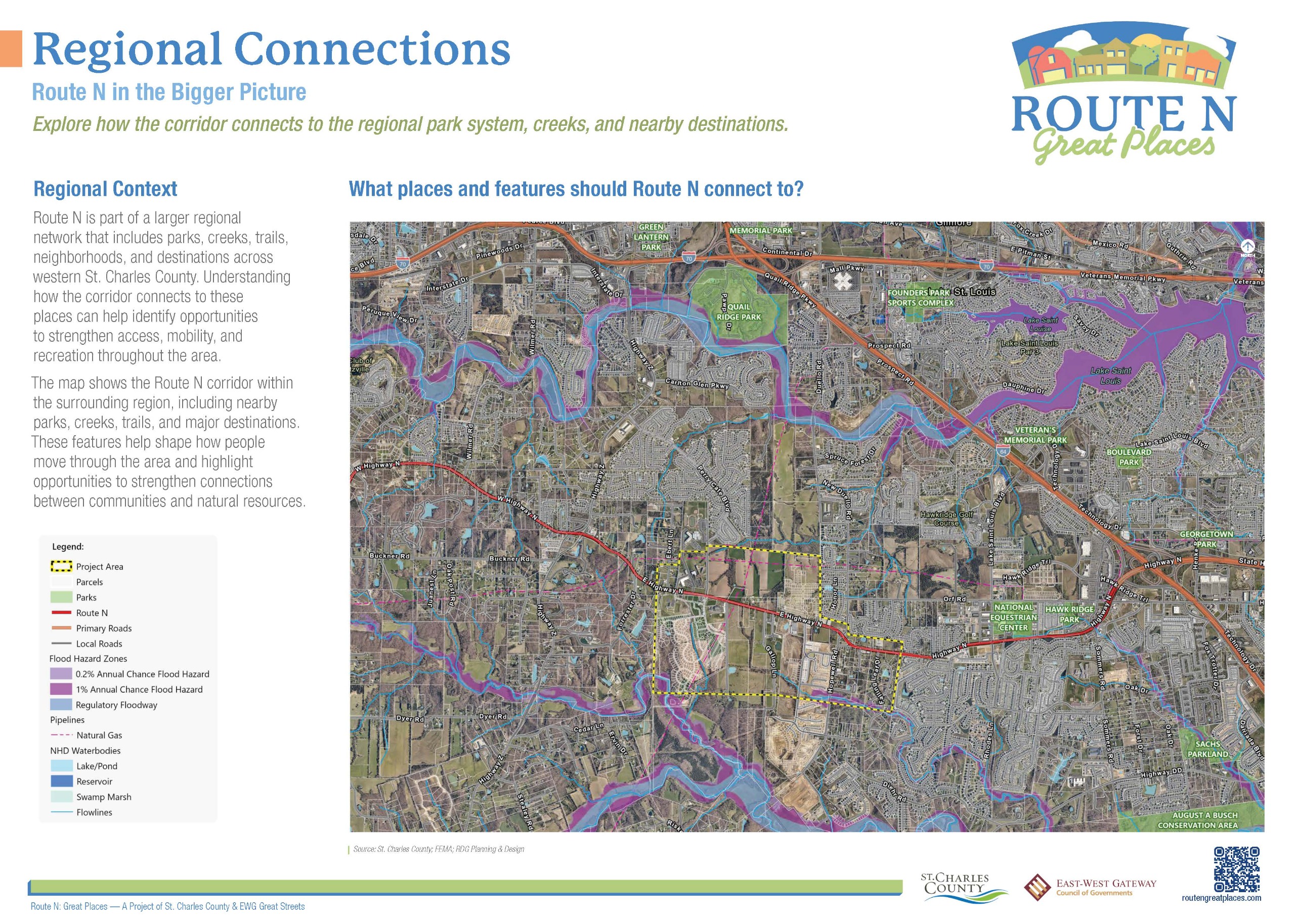
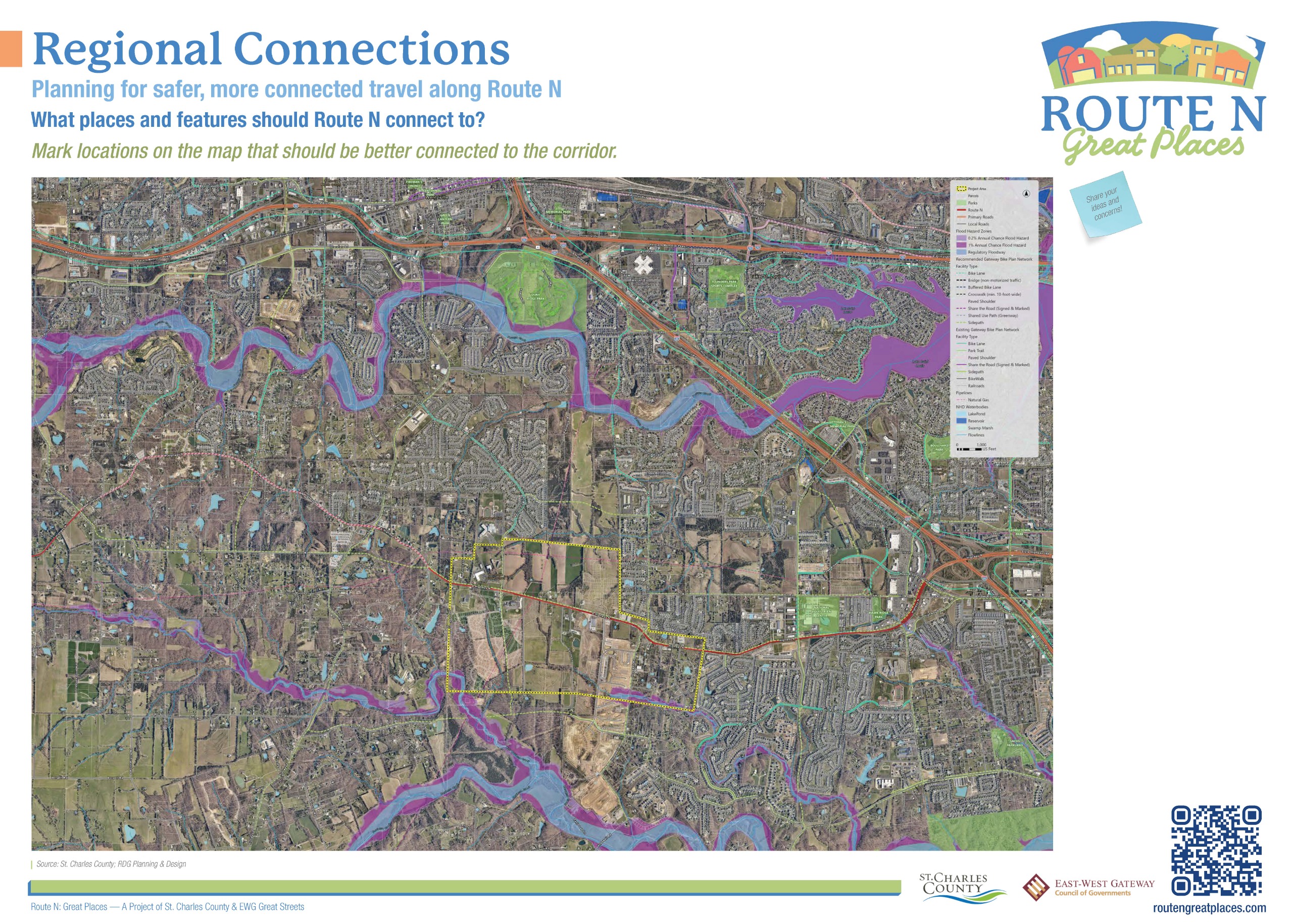
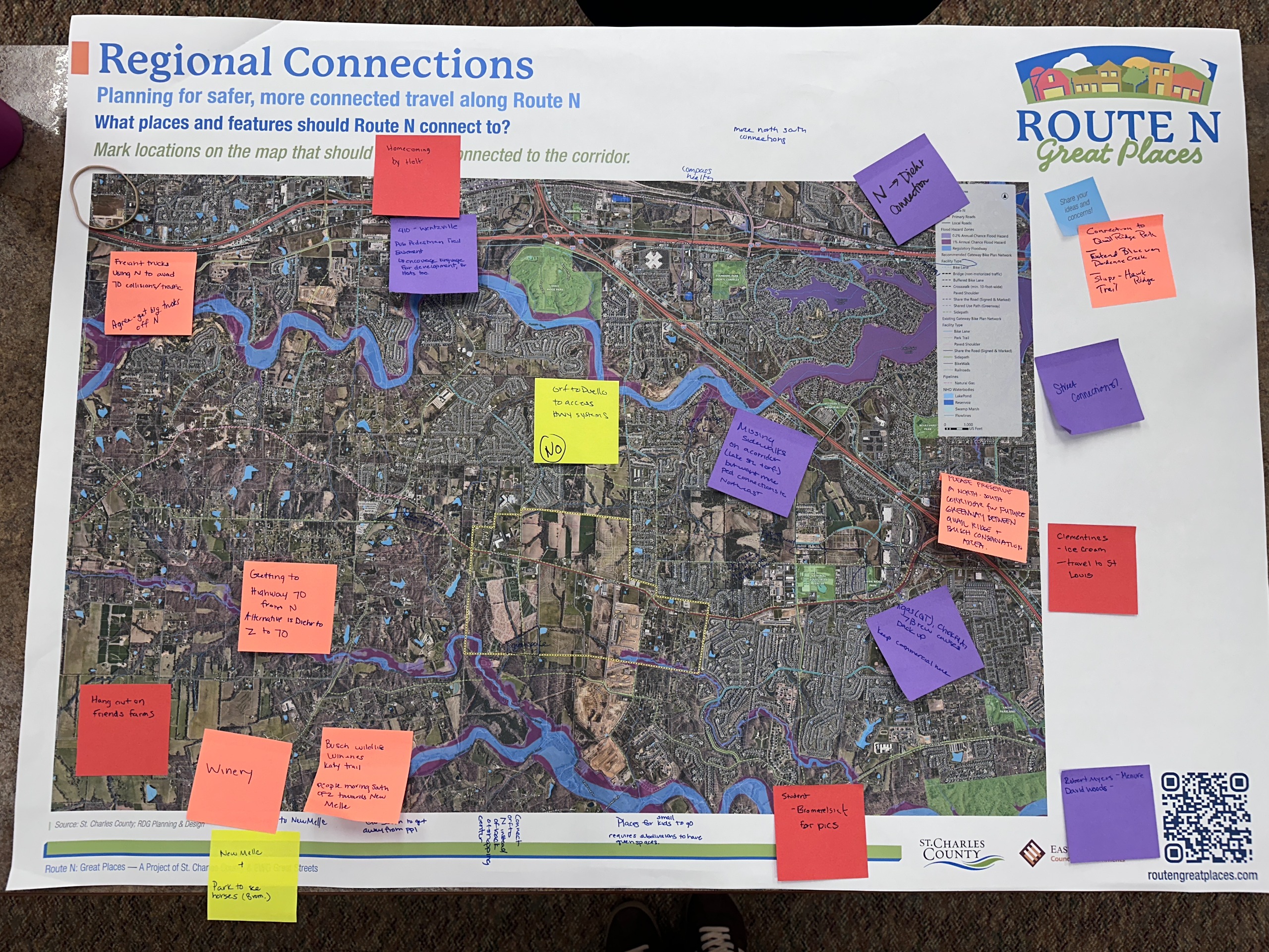
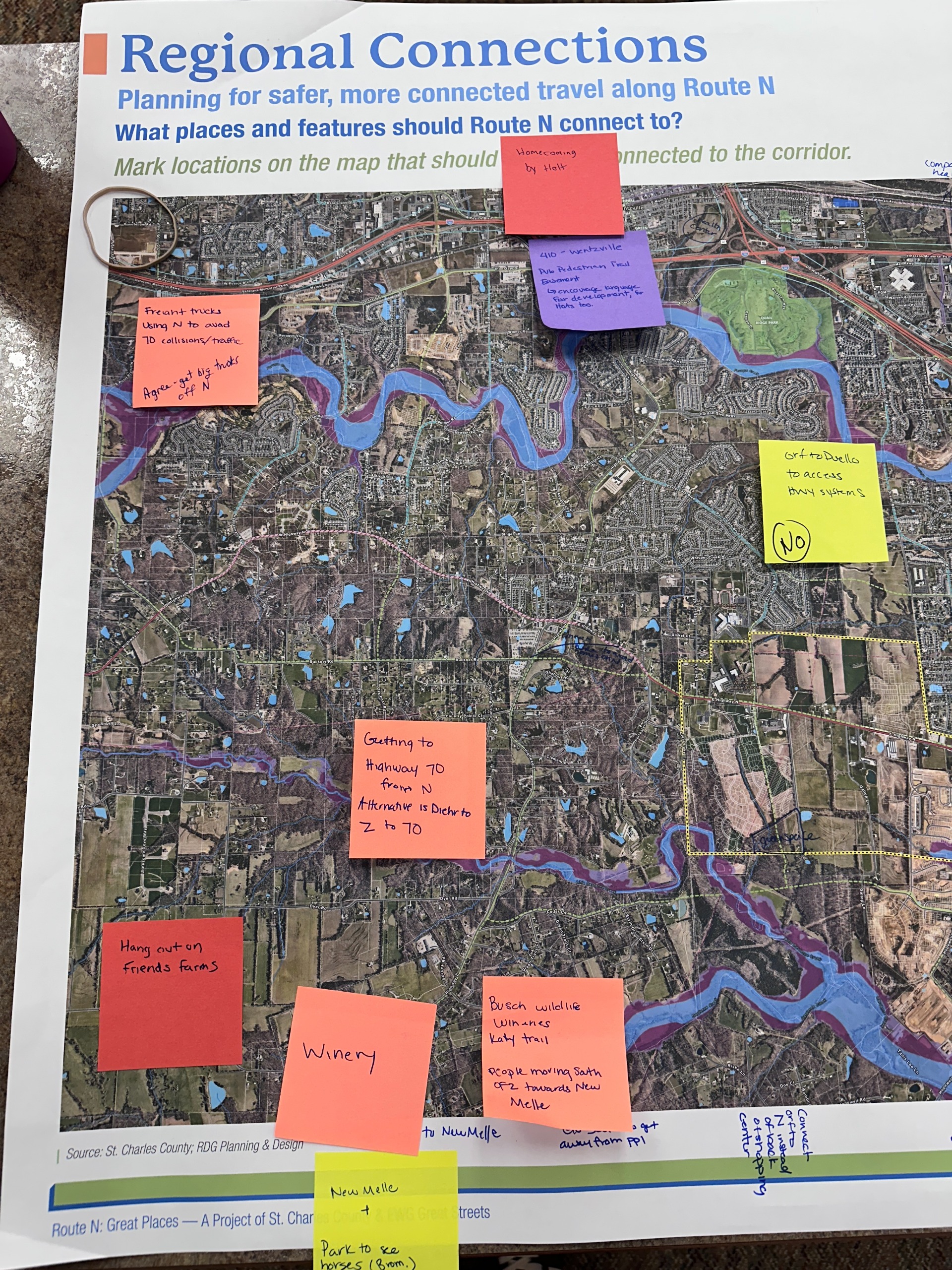
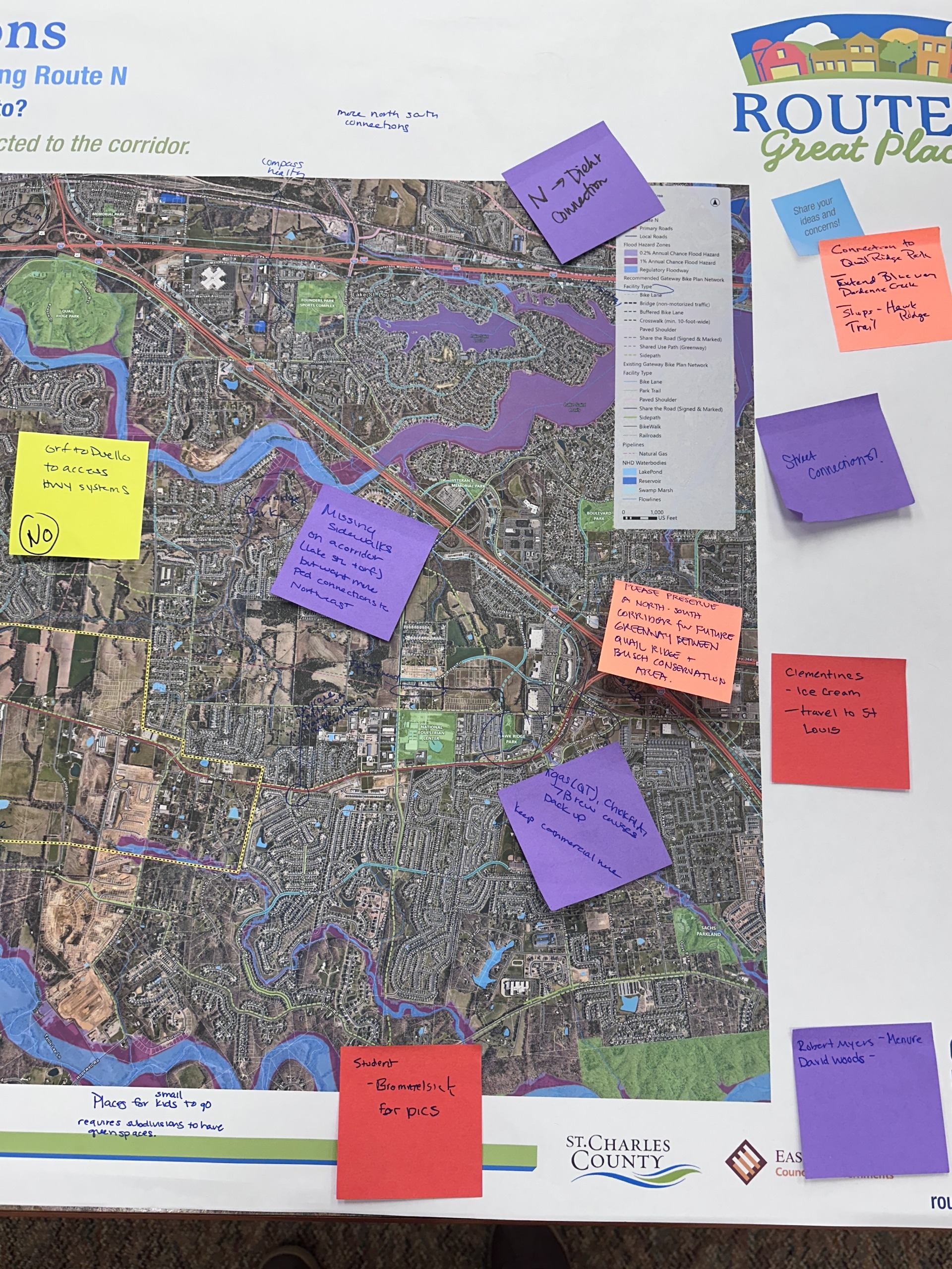
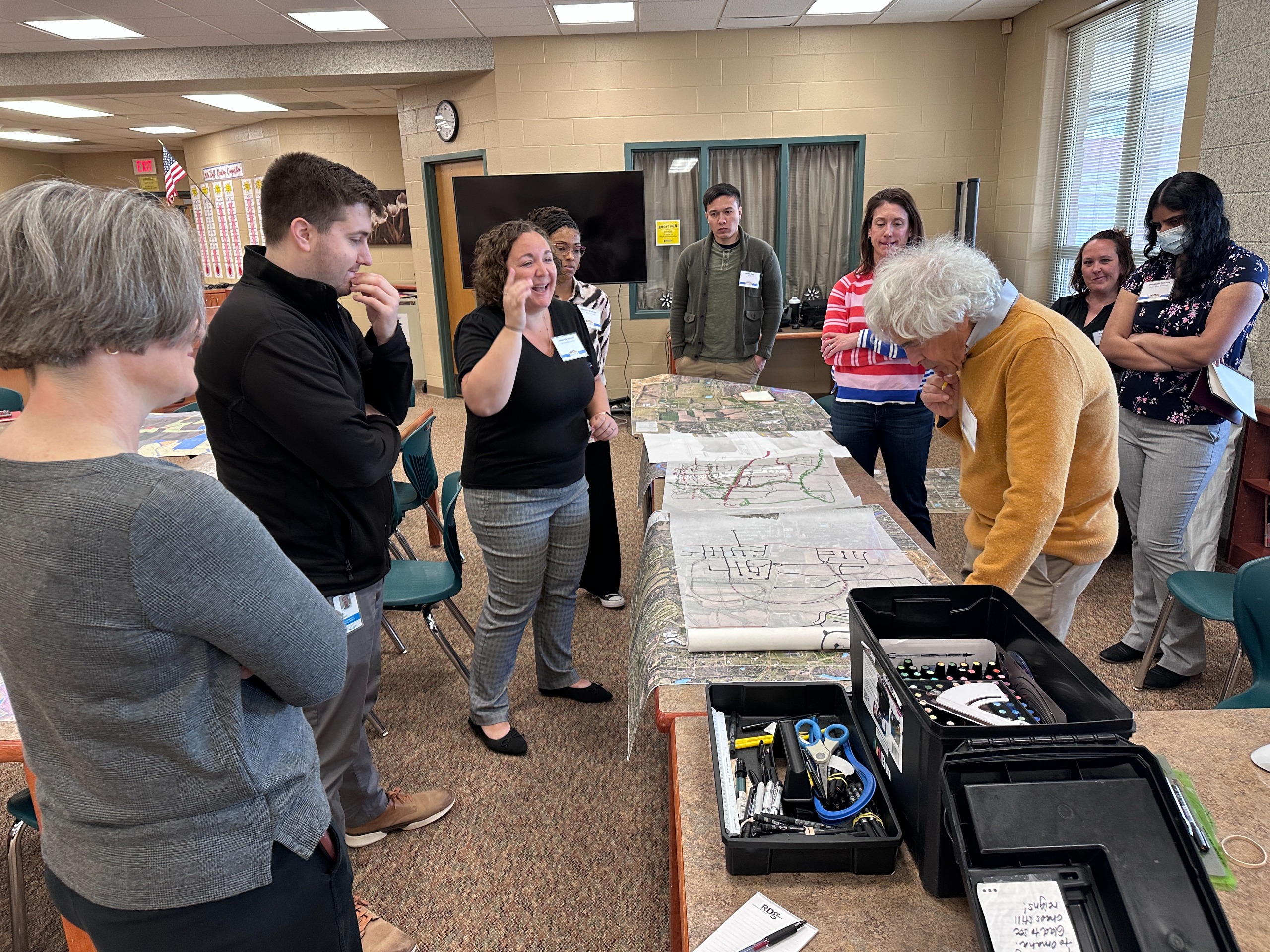
Thank You to Everyone Who Participated in Our Community Design Workshops
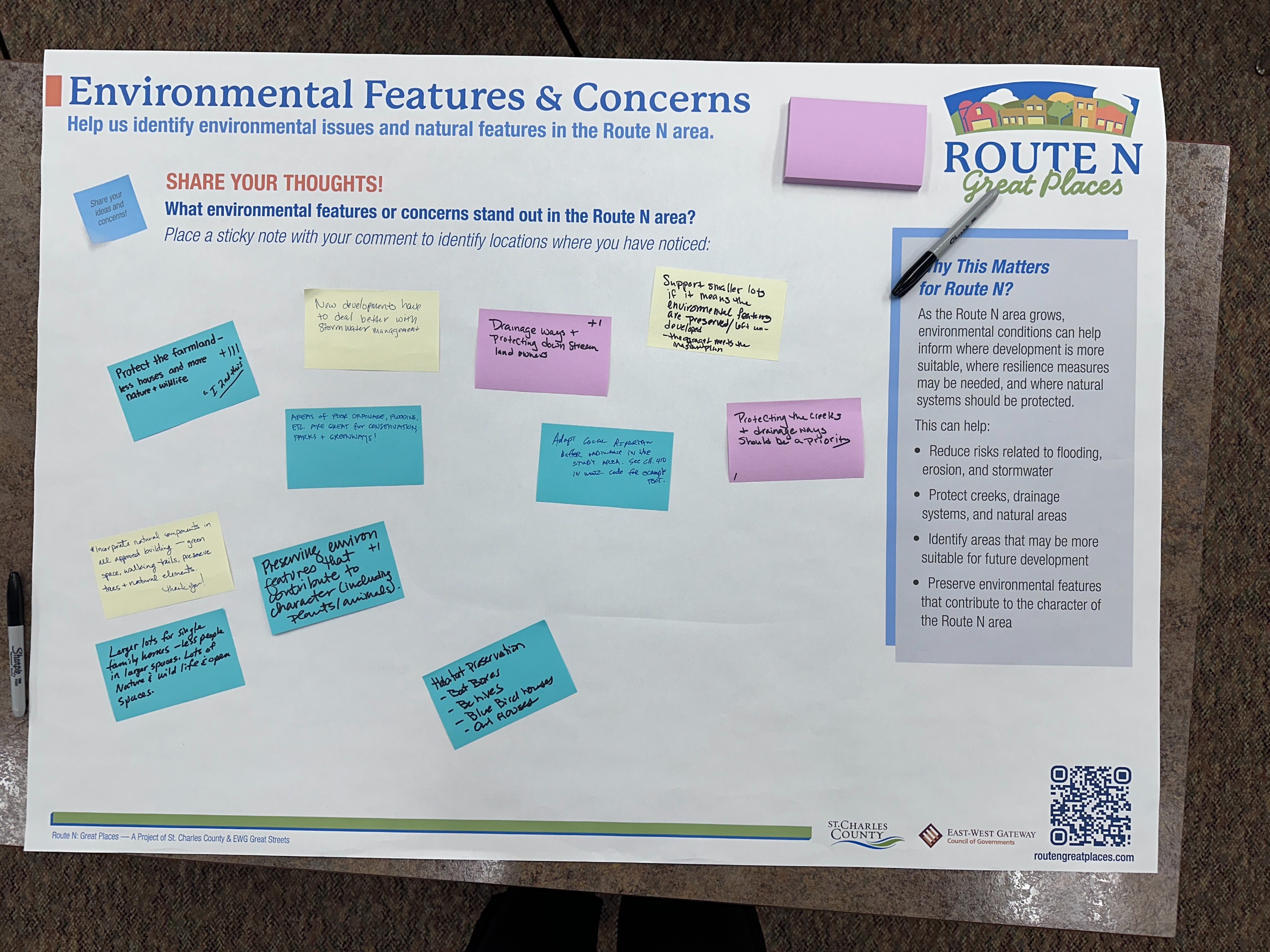
Thank you to everyone who joined our Community Design Workshops and Student Workshop Session on March 25 and 26. We appreciate everyone who participated in the activities, shared ideas, and helped shape the conversation about the future of Route N.
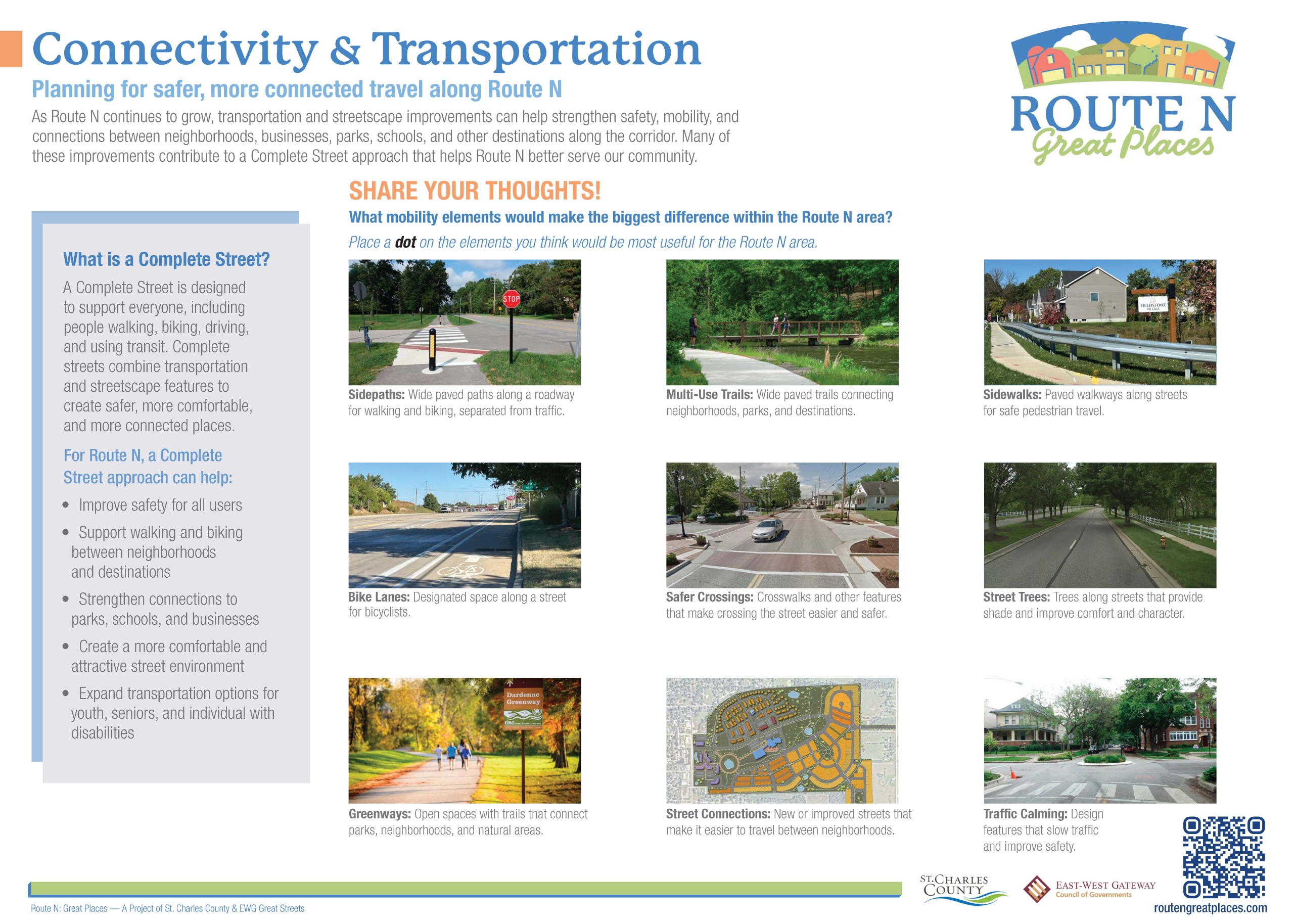
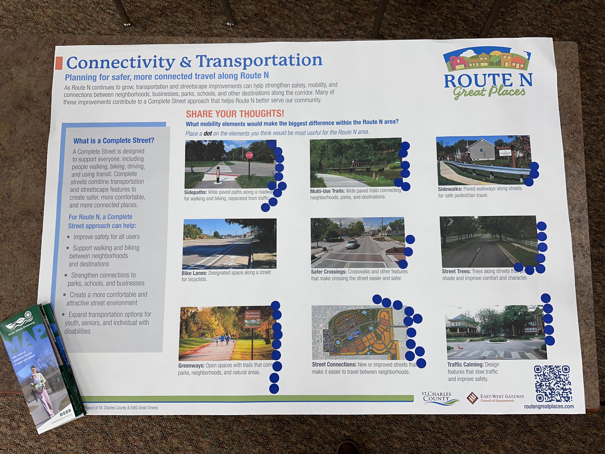
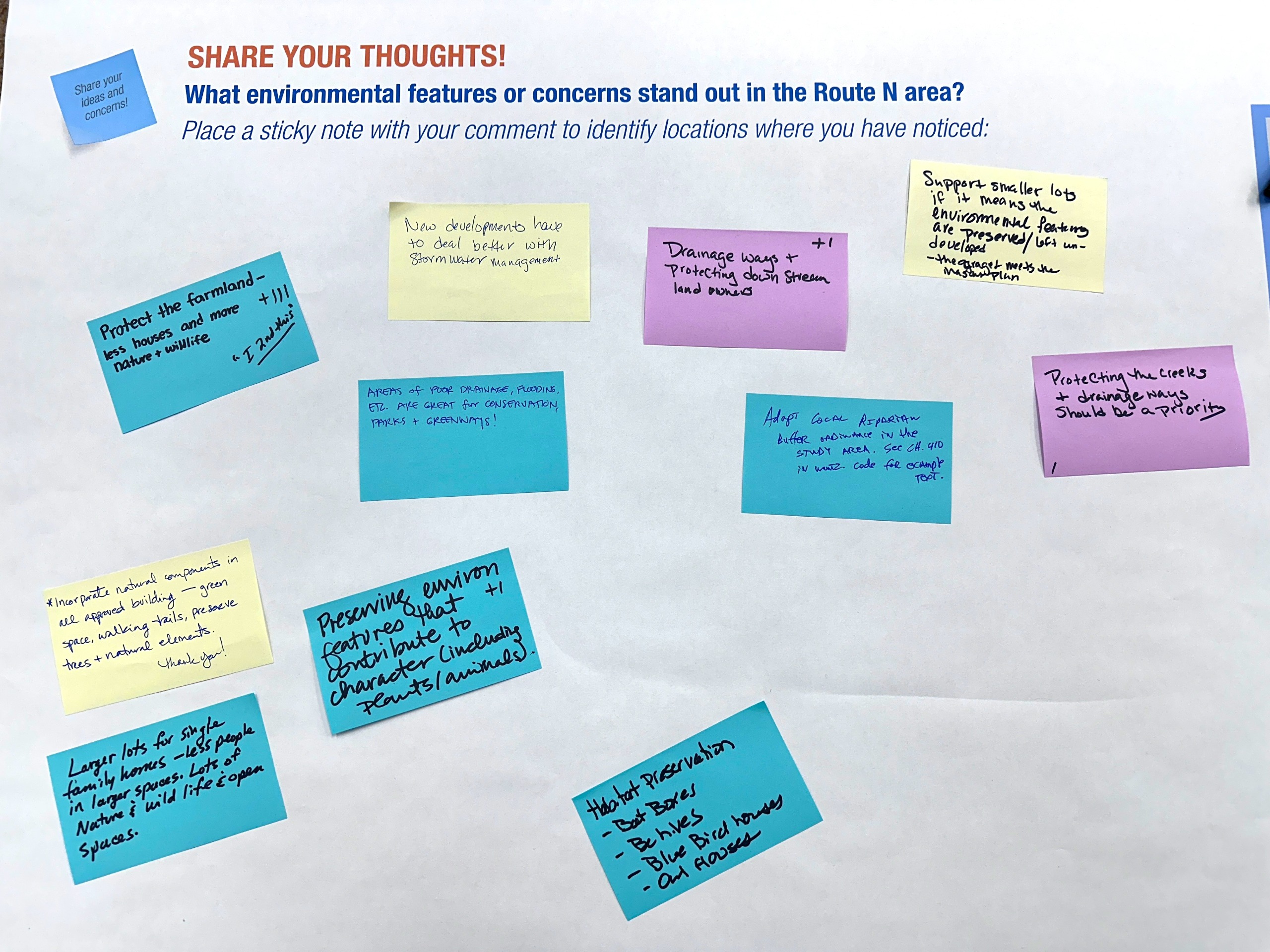
The workshops included interactive stations focused on key topics such as transportation, land use, corridor character, placemaking, and connectivity. Participants also had the opportunity to speak directly with planners and designers while ideas were illustrated in real time through sketches and concept drawings.
The Project Advisory Team (PAT) also met throughout the process to help guide the development of the plan. The PAT reviewed concepts, discussed community feedback, and helped refine the preferred direction moving forward.
Feedback gathered through the workshops, advisory meetings, and survey responses directly informed the recommendations included in the draft plan.
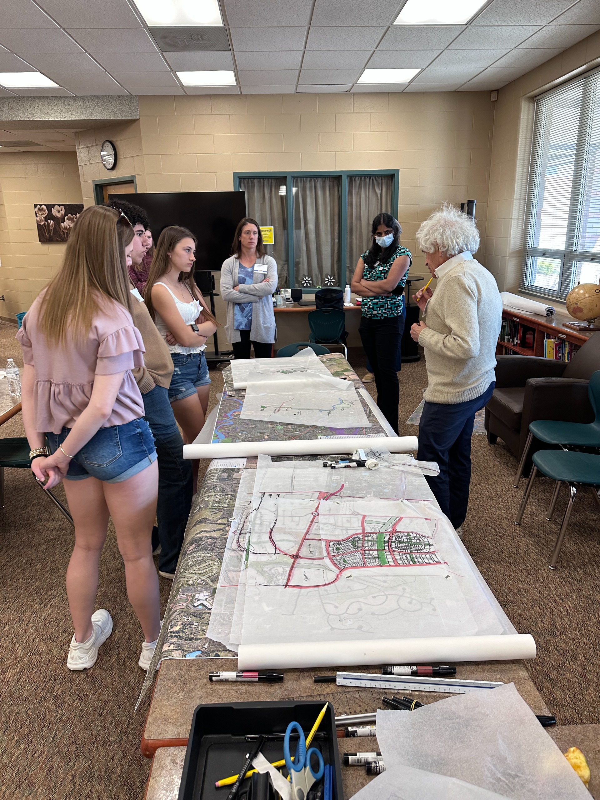
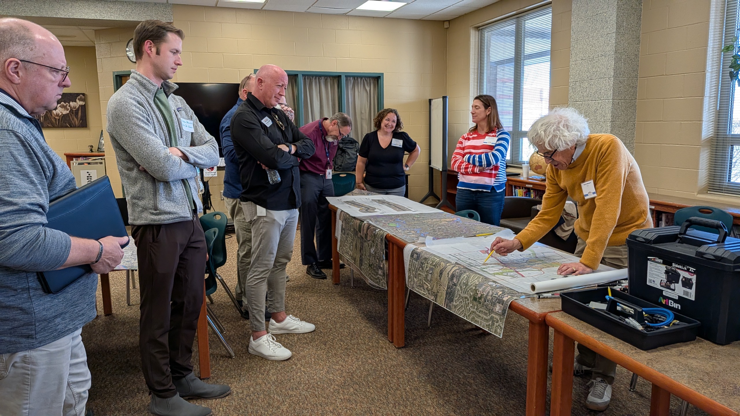
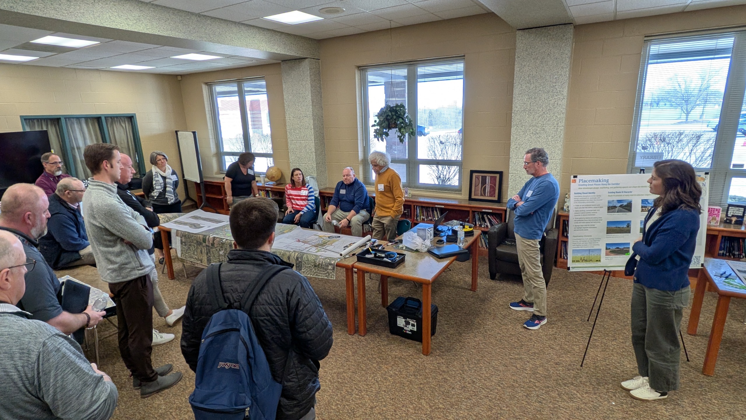
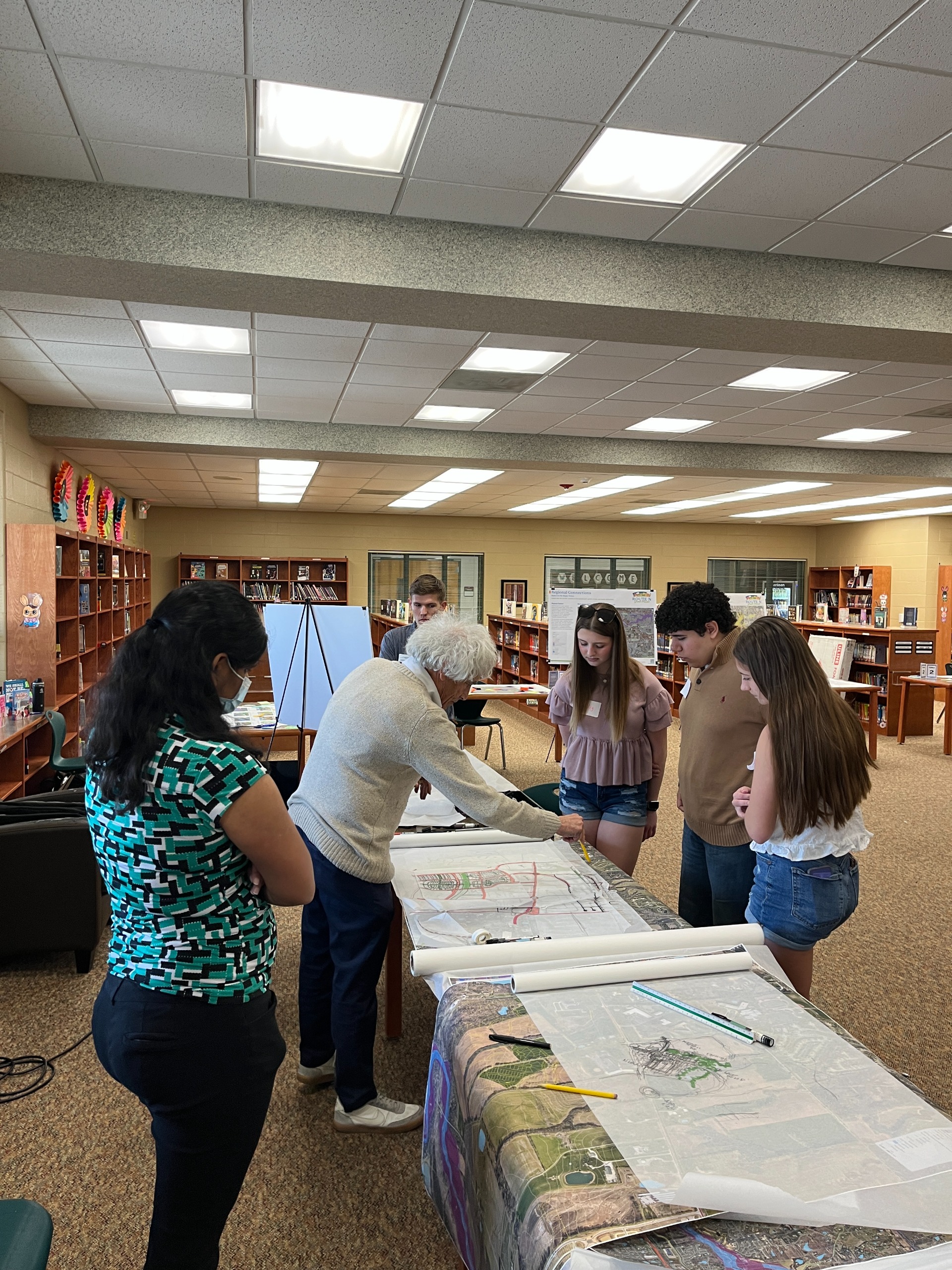

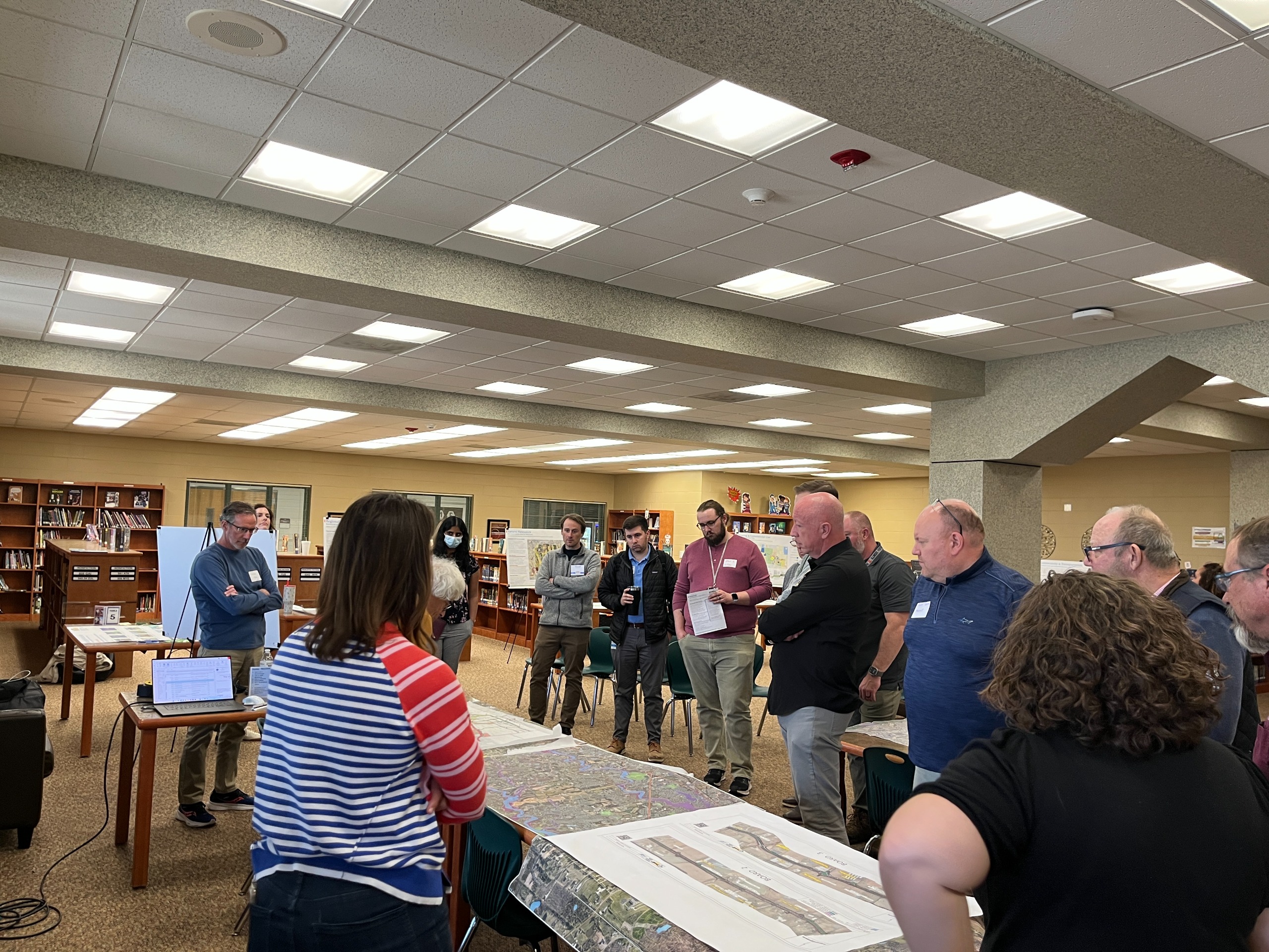
Image 1 of 23